
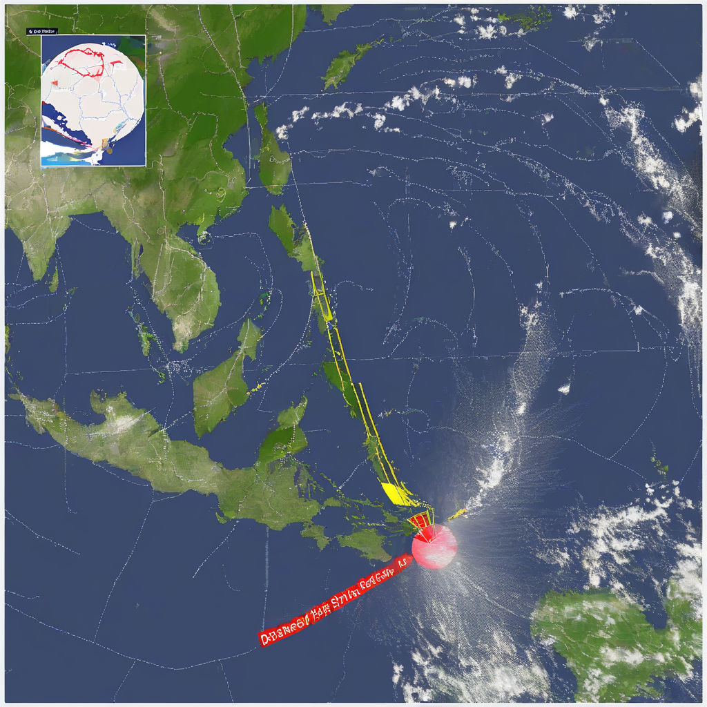
MANILA – Severe Tropical Storm Francisco is forecast to exit the Philippine Area of Responsibility (PAR) after being downgraded from a tropical cyclone.
The Philippine Atmospheric, Geophysical and Astronomical Services Administration (Pagasa), the state weather and warning authority designated under the country’s Meteorological and Geophysical Services Act, is managing the transition between Francisco’s departure and the arrival of Tropical Storm Higos, while simultaneously monitoring the effects of the southwest monsoon across several regions.
Francisco’s Current Status and Trajectory
Weather specialist Leanne Loreto reported during a 5 a.m. briefing that Signal No. 1 remains in effect over Batanes, indicating strong winds that may cause light to moderate damage to structures and crops. The storm is currently moving in a north-northeastward direction, gradually shifting away from land but still enhancing rain-bearing systems over northern Luzon.
According to the state weather bureau, the storm’s current metrics are as follows:
- Position: 415 kilometers northeast of Itbayat, Batanes, outside major population centers but still within monitoring range
- Maximum Sustained Winds: 100 kilometers per hour (kph) near the center
- Gustiness: Up to 125 kph, with occasional stronger gusts over open waters
Pagasa said Francisco’s expected exit from PAR will allow authorities to focus resources on the incoming system, while local disaster risk reduction councils in Batanes are advised to maintain preparedness measures until the warning signal is lifted.
Entry of Tropical Storm Higos
The agency is also tracking Tropical Storm Higos, which is approaching the boundary of the Philippine monitoring zone. As the system enters the PAR, Pagasa will assign it a domestic name in accordance with the agency’s naming convention for weather disturbances entering the region, a protocol that standardizes advisories for local governments and emergency responders.
“Higos would be renamed ‘Gardo’ for its domestic name and would be the seventh storm to hit the country this year,” Loreto said.
Once inside PAR, Higos/Gardo will be covered by regular bulletins, warning signals and rainfall advisories to guide decisions on class suspensions, port operations and preemptive evacuations, in coordination with the National Disaster Risk Reduction and Management Council.
Regional Weather Outlook and Monsoon Impact
The southwest monsoon, known locally as “habagat,” is currently influencing weather patterns across Luzon and the Visayas. This seasonal wind system, which typically brings moisture-laden air to the western side of the archipelago, is expected to produce occasional and scattered rains and thunderstorms in these areas over the next 24 hours, particularly along western seaboards and urban centers prone to flooding.
Pagasa warned that while rainfall may be intermittent, localized heavy downpours could trigger flash floods and landslides in low-lying and mountainous communities. Local government units are urged to monitor official advisories and use the agency’s real-time rainfall and flood monitoring platforms when making operational decisions.
In Mindanao, the agency forecasts partly cloudy to overcast skies. The isolated rain showers or thunderstorms expected in the southern region are attributed to localized thunderstorms rather than the monsoon or tropical systems, but could still briefly disrupt power and transport in affected areas.
Signal No. 1 remains hoisted over Batanes as Pagasa continues to monitor the trajectory of both systems, underscoring that changes in intensity or track could prompt updated warnings in the coming hours.
