
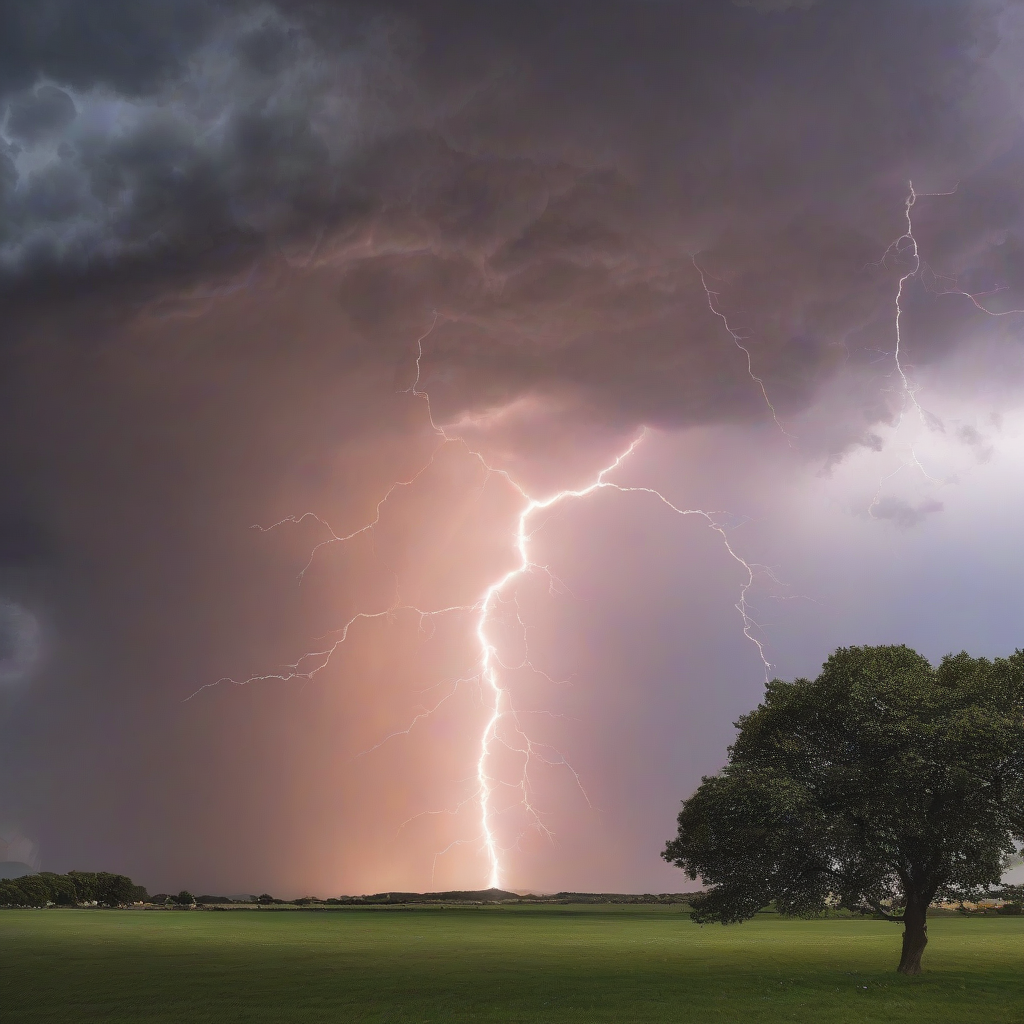
DUBLIN – Record-breaking temperatures and a series of Status Yellow thunderstorm warnings are affecting multiple counties across Ireland, with temperatures peaking at 32.1C in Co Galway.
The extreme weather event has prompted the national meteorological service, Met Éireann, to extend high-temperature alerts and issue warnings for severe thunderstorms that threaten to disrupt travel and utility infrastructure.
Record Temperatures and Meteorological Alerts
The highest temperature recorded during the heatwave reached 32.1C at a weather station in Athenry, Co Galway. According to a spokesperson for Met Éireann, this figure represents a record high for that specific station, with several other stations across the country also surpassing their own previous records.
“Some temperatures are still rising, so the picture will be clearer tomorrow, but Athenry has taken the record today,” the spokesperson stated.
Forecasters indicate that the current heatwave is likely to result in the highest temperatures for the month of June being broken, underscoring a pattern of more frequent and intense warm spells that Irish officials have linked to wider climate trends.
Met Éireann’s alerts form part of the State’s structured response to severe weather under the National Adaptation Framework, which sets out how government departments, local authorities and critical service providers prepare for and manage climate-related hazards.
Thunderstorm Warning Zones
Met Éireann has implemented a rotating series of Status Yellow warnings-the lowest level of alert used to signal that a weather event may cause local impacts-to manage the risk of thunderstorms. Status Yellow is intended to prompt heightened public awareness and allow local authorities, emergency services and infrastructure operators to ready contingency plans without triggering the full-scale responses reserved for higher-level warnings.
The current warning structure is as follows:
- Expired: A thunderstorm warning for Munster ended at midnight.
- Early Phase: A Status Yellow warning for Connaught and Donegal remained in effect until 9am.
- Active Phase: A subsequent Status Yellow warning took effect at 9am, remaining active until 6pm.
The current warning area covers a broad geographic range, including:
- Connaught and Donegal
- Monaghan, Clare, and Tipperary
- Kildare, Laois, and Longford
- Meath, Offaly, and Westmeath
Local authorities in the affected counties are expected to monitor surface water flooding, drainage and transport disruption, in coordination with the Office of Emergency Planning and utility operators, should the storms intensify.
Public Safety and Infrastructure Risks
Meteorologists have warned that the thunderstorms may bring several hazardous impacts, including flooding, hail damage, and very gusty winds. These conditions can lead to damage to electricity and telecommunications networks, localised power outages and difficult driving conditions.
Linda Hughes, a forecaster for Met Éireann, emphasized the sudden nature of these weather shifts.
“If anyone is out on the roads … do take extra care as these things can come along quite suddenly … so do keep the speed down on the roads,”
Hughes stated.
Motorists are advised to observe the following precautions:
- Reduce driving speeds and increase braking distances in wet or suddenly deteriorating conditions.
- Remain vigilant regarding reduced visibility during active thunderstorms and heavy downpours.
- Avoid traveling through flooded roads or areas where manhole covers may have lifted.
- Obey all road closure signage established by gardaí or local authorities.
Transport operators and local councils have also been urged to review drainage near key junctions and public transport hubs, where sudden cloudbursts can quickly lead to surface flooding.
Extended High-Temperature Warning
In addition to the thunderstorm alerts, the high-temperature warning has been extended until Saturday at 9am. Ireland is currently experiencing a period of intense heat and humidity, with the possibility of another “tropical night,” a meteorological occurrence where temperatures remain high throughout the night and offer little relief for vulnerable groups.
The extended warning highlights several critical safety concerns:
- Water Safety: Increased risk due to higher volumes of people using beaches, rivers and lakes, prompting extra patrols and advisories from rescue services.
- Health Stress: Risks of heat stress, dehydration and uncomfortable sleeping conditions, particularly for older people, children and those with pre-existing health conditions.
- Environmental Hazards: Increased possibility of forest and gorse fires, leading to calls for the public to avoid open burning and dispose of cigarettes responsibly.
Public health guidance urges individuals to stay hydrated, avoid strenuous activity, and remain out of direct sunlight during the hottest parts of the day. Health and social care providers have been advised to check on high‑risk patients, including those in residential settings.
Met Éireann further advised that people and animals must not be left unattended in vehicles. The agency’s warnings feed into national planning by emergency and health authorities, while climate scientists continue to assess how recurring heat episodes of this kind align with projections for Ireland’s warming climate under the national climate change assessment.
Worth a look
