
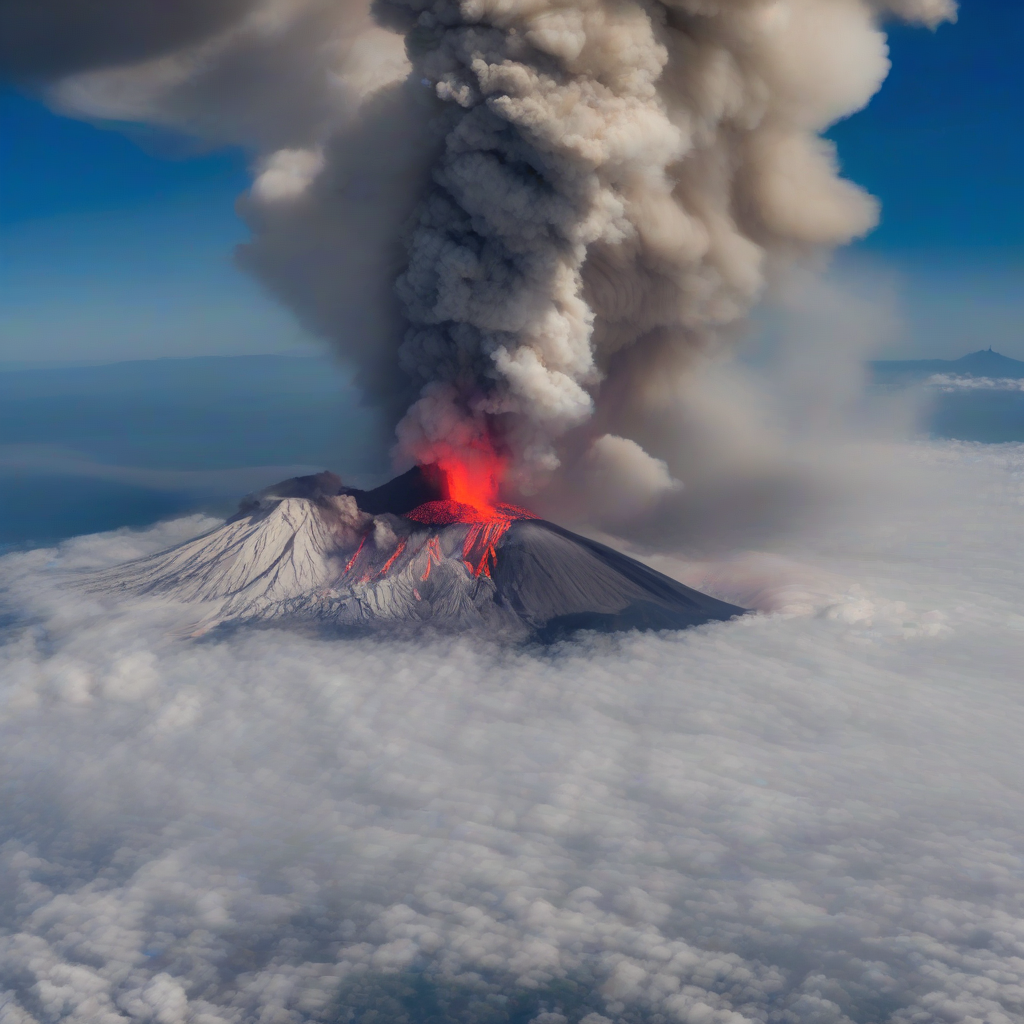
TOKYO – A series of volcanic eruptions and ash emissions occurred across the Pacific “Ring of Fire” on July 13, 2026, triggering multiple alerts from international aviation monitoring centers in Japan, Indonesia, and the Americas.
The simultaneous activity at major peaks, including Sakurajima in Japan and Mayon in the Philippines, alongside widespread explosive activity in Indonesia, has prompted the issuance of several Volcanic Ash Advisories (VAAC) to ensure the safety of trans-Pacific air corridors.
Volcanic ash poses a critical risk to jet engines, which can ingest the glass-like particles, leading to engine failure. Consequently, the Volcanic Ash Advisory Centers (VAAC) in Tokyo, Darwin, and Washington are currently tracking ash plumes to determine flight level restrictions and rerouting for commercial aviation.
Eruptions in the Philippines and Japan
In the Philippines, the Volcanic Ash Advisory Center Tokyo reported an eruption at Mayon on Luzon Island at 12:01 UTC on July 13. The eruption produced a plume reaching Flight Level 120 (approximately 12,000 feet), extending toward the northeast.
Meanwhile, Kanlaon in the central Philippines continues to be monitored following a strong explosion from its summit crater on July 7. That event generated a copious grey ash plume that reached altitudes between 4.5 and 5.5 kilometers, propagating northeast.
The activity at Kanlaon also produced a block-and-ash flow that descended the southern slope, extending at least 4 kilometers from the summit. Authorities have maintained the volcano’s status at Alert Level 2, a classification that signals increased unrest and restricts access within designated danger zones around the crater.
In Japan, Sakurajima on Kyushu erupted at 01:52 UTC on July 13. The VAAC Tokyo reported that the eruption reached FL100 (10,000 feet), with observed ash extending north. Japanese authorities used the alerts to coordinate with local governments and transport operators, emphasizing the need for real-time information sharing with civil aviation regulators and disaster management agencies.
Widespread Explosive Activity in Indonesia
Indonesia is currently experiencing significant instability across multiple volcanic systems, with the VAAC Darwin issuing warnings for several peaks under its area of responsibility. The advisories, which feed into regional aviation and disaster-response decision-making, highlight the following activity:
- Semeru (East Java): Explosive activity produced an ash plume reaching 15,000 feet (FL150), moving southeast.
- Dukono (Halmahera): Ash emissions reached 7,000 feet (FL070), moving northeast.
- Lewotolo (Lesser Sunda Islands): An ash plume rose to 6,000 feet (FL060), moving west.
- Krakatau (Sunda Strait): Explosive activity resulted in a plume of 3,000 feet (FL030), moving east.
- Lewotobi (Flores): Continuing explosive activity produced a plume of approximately 700 feet (200 meters), moving west.
- Ibu (Halmahera): Volcanic ash emissions reached FL060 and were observed moving north.
Indonesian authorities routinely integrate VAAC data with ground-based observatories to inform temporary airspace restrictions, maritime advisories, and contingency plans for nearby communities.
Activity in the Americas
In Central America and Mexico, the VAAC Washington is monitoring three primary systems showing signs of instability, with information flowing to both national disaster agencies and regional air navigation service providers.
Popocatépetl in central Mexico is currently reporting possible light volcanic ash emissions. In Guatemala, Fuego is experiencing continuing ash emissions, while Santiaguito is reporting occasional emissions. While current activity remains within expected patterns for these persistently active volcanoes, authorities stress that even low-level ash can affect local air traffic, public health, and critical infrastructure such as water supplies and power distribution.
Global Volcanic Status
Beyond the immediate eruptions on July 13, several other global systems remain in active states of eruption or are under warning, underscoring the continuous nature of volcanic risk worldwide. Volcanoes are vents where lava, fragmented rock, and gas reach the surface, and their activity can span days to years, reshaping landscapes and periodically disrupting aviation and nearby populations.
| Region | Currently Erupting / Active |
|---|---|
| Americas | Kilauea (Hawai’i), Sangay and Reventador (Ecuador), Sabancaya (Peru), Masaya (Nicaragua) |
| Europe/Africa | Etna (Sicily), Stromboli (Italy), Nyamuragira and Nyiragongo (DR Congo), Erta Ale (Ethiopia) |
| Asia/Pacific | Bezymianny and Sheveluch (Kamchatka), Aoba (Vanuatu), Yasur (Vanuatu), Bagana (Papua New Guinea) |
| Other | Erebus (Antarctica), Barren Island (Indian Ocean) |
Additional systems currently under eruption warning or showing minor activity include Cotopaxi in Ecuador, Taal in the Philippines, and White Island in New Zealand. In many of these locations, national governments maintain exclusion zones, evacuation protocols, and early-warning systems that are periodically tested and updated in line with scientific assessments.
The Smithsonian Institution and the United States Geological Survey (USGS) continue to provide weekly and daily activity reports to synchronize global monitoring efforts, operating alongside the aviation-focused framework of the International Civil Aviation Organization’s International Airways Volcano Watch, which defines how states, meteorological services, and VAACs coordinate volcanic ash warnings for civil aviation. For broader public-safety and hazard mitigation, USGS’s Volcano Hazards Program and its counterparts worldwide supply real-time data, risk assessments, and technical guidance that inform national disaster laws, local evacuation orders, and long-term land-use planning in high-risk volcanic regions.
- Urban Infrastructure Resilience: How European and Asian Megacities Are Adapting to Extreme Climate Oscillations in 2026
- UN General Assembly 2026 Framework on Autonomous Systems: International Diplomacy Faces Algorithmic Governance
- Option 2 Is a Process, Not Secession: What Alberta's Ballot Would Trigger (daybreakwire.com)
