
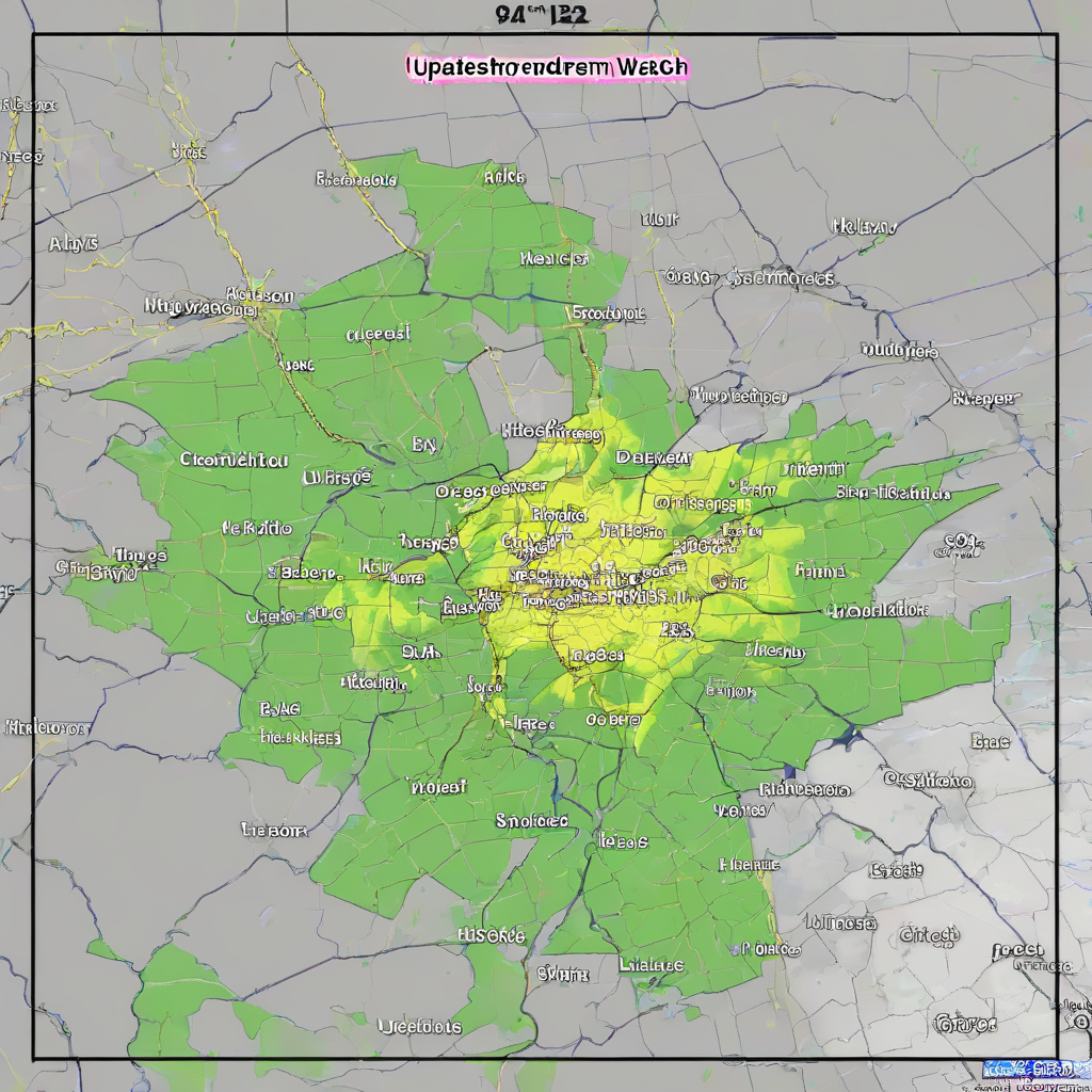
MONTREAL – Environment Canada lifted a severe thunderstorm watch for the Montreal area on the evening of July 14, 2026, after a day of escalating weather warnings that left the city under menacing skies with only minimal rainfall.
The sequence of alerts, which included a rare orange-level tornado watch, placed residents and municipal services on high alert for significant wind gusts, large hail, and the potential for tornadic activity across south-central Quebec.
The volatility of the day’s atmospheric conditions was driven by a “heat dome” generating a “ring of fire” pattern. According to The Weather Network, this meteorological phenomenon created enhanced conditions for high-impact severe weather across a broad region, including the Montreal area, the St. Lawrence Valley, the Gaspé Peninsula, southern and eastern Quebec, northern New Brunswick, and parts of eastern Ontario, including Ottawa.
City officials said emergency management teams monitored conditions throughout the day, in line with the federal alerting framework set out by Canada’s Emergency Management Act, which assigns provinces and federal agencies clear roles in preparing for and responding to severe weather events. Montreal’s fire, police and public works departments were placed on standby as the risk level rose, though no major damage or evacuations were reported by Tuesday night.
### Timeline of Weather Alerts on July 14, 2026
The federal weather agency issued and modified several warnings throughout the day, illustrating how quickly conditions were expected to deteriorate:
- 5:12 a.m.: A yellow thunderstorm watch was issued, stating that “conditions will be favourable for the development of severe thunderstorms capable of producing strong wind gusts, large hail and heavy rain.”
- 8:55 a.m.: An orange tornado watch was issued for a large swath of south-central Quebec.
- 5:01 p.m.: A yellow tornado watch was issued for Montreal, Laval, Terrebonne, and areas along the St. Lawrence River down to Trois-Rivières; this was cancelled minutes later as forecasters reassessed the track and intensity of the storm cells.
- 6:14 p.m.: The tornado risk was officially removed from the initial thunderstorm watch.
- Before 9:00 p.m.: The severe thunderstorm watch was lifted as the most unstable air mass shifted east of the metropolitan region.
Environment Canada utilizes orange alerts sparingly. These warnings are reserved for instances when severe weather is likely to cause significant damage, disruption, or health impacts, and they typically trigger automatic notifications through the national Alert Ready system to mobile devices, broadcasters and public authorities.
The flurry of advisories came as Montreal – a city of more than 1.7 million residents and the economic hub of Quebec – continued to adapt its emergency procedures to more frequent episodes of extreme heat and sudden storms, which climate scientists have linked to broader warming trends. Municipal officials have emphasized that early warnings and clear public communication are now a central part of the city’s climate-resilience planning.
The sun looms over La Grande Roue de Montréal as an orangish haze blankets the sky in Montreal on Tuesday, July 14, 2026. Evan Buhler / Montreal Gazette
### Atmospheric Conditions and Forecast
Throughout the day, Montreal experienced extreme humidity and high temperatures. The forecast high reached 33 degrees Celsius, though the humidex value pushed the perceived temperature to 42. The UV index was recorded at 9, categorized as very high, prompting public health advisories to limit outdoor activity during peak afternoon hours and to check on vulnerable neighbours.
Residents observed an “orangish haze” blanketing the city, coinciding with the arrival of ominous cloud cover over downtown and the Côte-des-Neiges area. Meteorologists said the coloration likely reflected a mix of high humidity, particulate matter and angled evening sunlight, contributing to the sense of an approaching severe storm even as rainfall remained limited.

A man walks through Place Ville Marie as ominous clouds loom over downtown in Montreal on Tuesday, July 14, 2026. Evan Buhler / Montreal Gazette

Visitors take pictures of the skyline as an orangish haze blankets the sky in Montreal on Tuesday, July 14, 2026. Evan Buhler / Montreal Gazette

Morning skies are hazy as seen looking northward along Côte-Des-Neiges from Côte-St-Catherine in Côte-Des-Neiges, on Tuesday, July 14, 2026. Tim Snow / Montreal Gazette
The local forecast included a 40 per cent chance of showers late in the afternoon, with southwest winds at 30 km/h gusting to 50 km/h. Despite the severe warnings and the menacing appearance of the sky, the city received only a small amount of rain before the warnings were cleared. Transit and airport operations continued largely without interruption, though authorities urged commuters to allow extra time in case of sudden downpours or lightning.
The overnight low for the region was forecast at 20 degrees Celsius, offering limited relief from the heat. Both the orange tornado watch and the yellow thunderstorm watch were lifted by Tuesday evening, but meteorologists warned that the broader “ring of fire” pattern could keep southern Quebec in a zone of heightened storm risk through the week, underscoring the importance of heeding future alerts issued by Environment Canada and local authorities.
Related reading
