
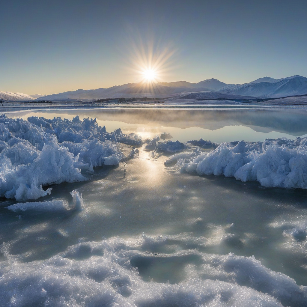
WELLINGTON – New Zealand recorded its coldest temperatures of the year across multiple regions, with air temperatures plummeting to -12.5C at Lake Tekapo.
The extreme cold event impacted both the North and South Islands, bringing frost to northern regions usually spared from such lows. A shift in weather patterns is expected as a front moves in from the Tasman Sea, bringing a mixture of warmer air and unsettled conditions to the west coast.
MetService meteorologist Michael Pawley confirmed that several locations reached their annual minimums during the overnight period, prompting fresh guidance for local councils and transport operators responsible for managing ice on roads and critical infrastructure.
The lowest recorded air temperatures included:
- Lake Tekapo: -12.5C
- Mount Cook Airport: -11.5C
- Taupo Airport: -4.2C
- Christchurch Airport: -3.8C
- Auckland Airport: 2.5C
In the North Island, the central plateau saw temperatures drop as low as -6.2C. Sub-zero air temperatures were recorded as far north as Auckland, and Pawley indicated that inland parts of Northland likely experienced a frosty start, with rural communities advised to take extra care on secondary roads and driveways.
While air temperatures are the primary metric for public reporting, ground temperatures can fluctuate independently and are closely watched by emergency management teams. According to Pawley, ground temperatures can run up to 4C colder than air temperature overnight; one weather station inland from Northland recorded 1C, increasing the likelihood of black ice on shaded surfaces.
Atmospheric Shift and Regional Forecasts
Warmer air is expected to move across the country as northwesterlies drag a weather front from the Tasman Sea. This transition will bring a significant temperature increase to certain areas, but also a rapid change in conditions that civil defence authorities are monitoring for potential impacts on rivers and transport corridors.
In Christchurch, the maximum temperature is forecast to reach 17C on Tuesday, before falling to an overnight low of 8C on Wednesday. Such swings are typical of frontal passages at this time of year and can influence energy demand as households move quickly from frost to relatively mild daytime conditions.
The incoming front will bring rain to western areas, with the South Island being particularly affected on Monday and Tuesday. This system may produce thunderstorms and strong wind gusts, and MetService is coordinating formal watches and warnings under its mandate as New Zealand’s national meteorological authority, which operates within the framework of the Civil Defence Emergency Management Act.
Pawley identified a low risk of severe gales reaching warning criteria for the following regions on Tuesday:
- Fiordland
- Inland Otago
- Canterbury high country
The risk of warning-level severe weather is expected to ease between Wednesday and Friday, although western areas will remain unsettled. Local authorities on the West Coast are expected to keep an eye on short, intense bursts of rain that can cause surface flooding, even when no widespread severe weather is forecast.
Weekly Outlook and Alpine Impact
Regional conditions for the remainder of the week will vary. Pawley noted that Christchurch and Hawke’s Bay are expected to be drier with more frequent fine breaks, providing an opportunity for councils and road contractors to clear residual ice and repair any weather-related damage.
Northland, Auckland, the Coromandel, and the Bay of Plenty are forecast to see some fine spells, though Pawley described the outlook for these areas as “more of a mixed bag, with cloud and showers also moving through.” For primary industries and tourism operators, particularly those around destinations such as Lake Tekapo, the combination of cold mornings and intermittent sun will shape both transport reliability and visitor numbers.
Regarding alpine conditions, the current front is moving quickly, meaning snowfall accumulations are not expected to significantly impact ski fields. A dusting of snow is possible on more elevated runs, but ski area operators are not currently anticipating major disruptions to lift operations or access roads.
“My pick of the week would be Christchurch, as it’s looking a bit drier in the east, with more fine breaks,” Pawley said.
MetService continues to monitor weather models to determine if subsequent rain and showers later in the week will result in further snow accumulations, with any escalation in risk to be communicated through its official watch and warning system used by central and local government agencies.
Related reading
