
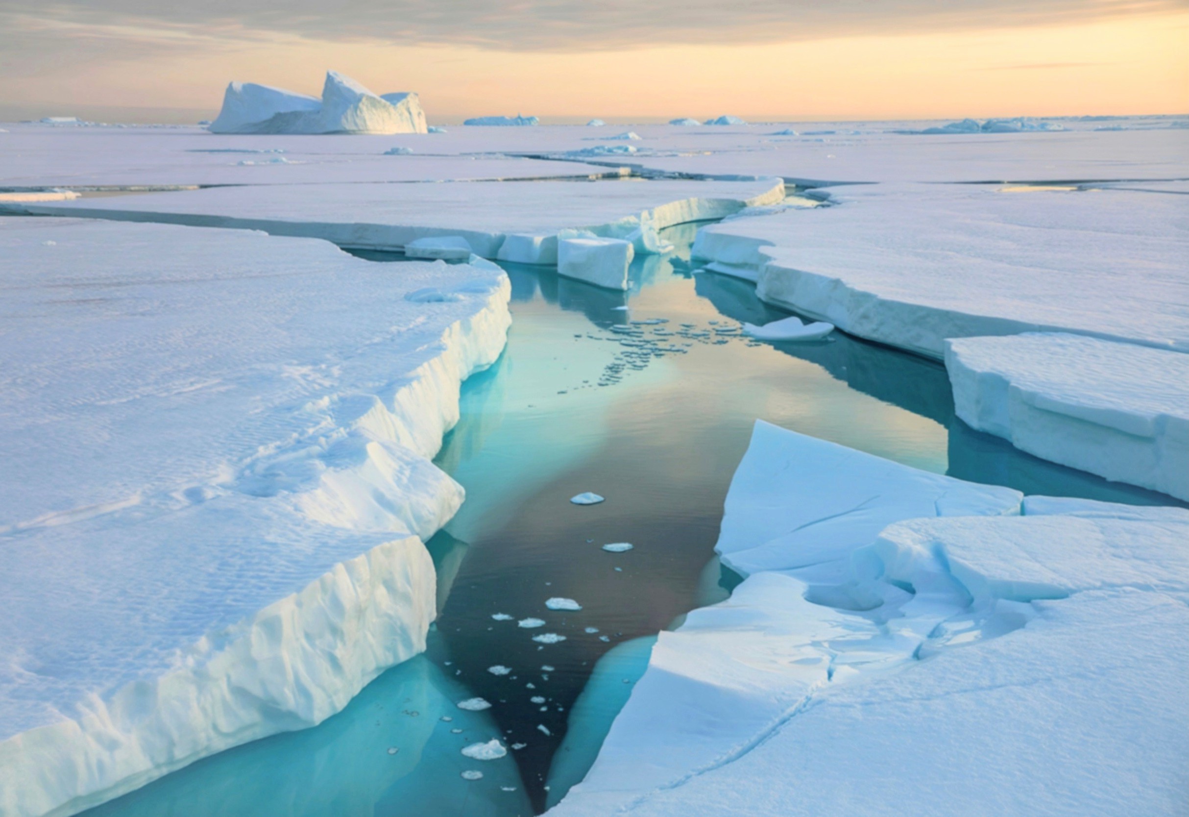
Millions of years ago, Antarctica functioned as a lush, humid sanctuary for diverse plant and animal life, bearing little resemblance to the frozen wasteland of the modern era. The transition to a glacial state occurred approximately 34 million years ago, but the catalyst for this environmental shift was not a sudden climatic anomaly. Instead, it was the result of a protracted geological sequence involving tectonic shifts and subterranean energy transfers that reshaped the continent from below.
Recent research indicates that the formation of the East Antarctic Ice Sheet was predicated on a tectonic event that occurred significantly earlier, driven by a mechanism known as mantle waves. These waves, which ripple beneath the Earth’s crust, essentially re-engineered the continent’s topography, creating high-elevation thresholds that made the region vulnerable to permanent glaciation. The work adds a deep-time dimension to today’s climate discussions by showing how long-term solid-Earth processes can precondition a region for rapid climate tipping points once atmospheric conditions change.
Geospatial Modeling and the Africa Connection
The breakthrough in understanding this process came from an unexpected comparison between Antarctica and southern Africa. Using advanced computer simulations of the Gondwana supercontinent’s breakup, researchers identified a striking structural symmetry between the two landmasses. This modeling process utilized high-performance computing to simulate how mantle waves-disturbances triggered by rifting-could strip material from the base of the lithosphere, causing the remaining rock to rise and form broad, elevated plateaus.
Thomas Gernon, an Earth scientist at the University of Southampton, discovered that the steep escarpments and high plateaus of southern Africa mirrored a specific stretch of the Antarctic coastline known as Queen Maud Land. “I could not believe what I saw,” Gernon said. “I thought, ‘It looks just like Africa.’” The visual parallel suggested that similar forces were at work beneath both regions, linking continental breakup, deep-Earth dynamics and surface landscapes across what are now separate hemispheres.
By applying the same mantle wave logic to Antarctica, the team was able to generate a simulated topography that closely aligns with current observations beneath the ice. “By virtue of just having the same process as in Africa, we could generate a topography which is actually really close to the topography that we observe in East Antarctica,” Gernon said. That convergence between model and measurement is central to the study’s credibility, and to its implications for how scientists reconstruct past climate thresholds.
Timeline of Antarctic Tectonic Transformation
The evolution from a green continent to an ice sheet involved several distinct geological and climatic stages, unfolding over more than 150 million years:
| Era/Timeframe | Geological/Climatic Event | Impact on Topography |
|---|---|---|
| Jurassic Period (201-143 million years ago) | Gondwana Supercontinent Rifting | Initiation of mantle waves and lithospheric stripping, beginning the uplift of proto-highlands. |
| ~50 million years ago | Major Highland Uplift | Formation of high-elevation plateaus and the Gamburtsev Subglacial Mountains, establishing a rugged interior. |
| ~40 million years ago | Early Ice Accumulation | Topography reaches a critical height, allowing snow and seasonal ice to persist year-round on interior peaks. |
| ~34 million years ago | Full Glacial Switch | Formation of the East Antarctic Ice Sheet and stabilization of the freeze as global temperatures decline. |
The Gamburtsev Trigger and Feedback Loops
The simulated uplift centered on the Gamburtsev Subglacial Mountains, a hidden range buried beneath more than a kilometer of ice that acted as the primary anchor for the ice sheet. The research suggests that once these mountains reached a specific elevation, they created a localized environment where snow could accumulate regardless of modest shifts in global temperature trends. This initiated a powerful cooling feedback loop: as ice grew, it increased the region’s albedo, reflecting more solar radiation back into space and further lowering temperatures over the newly elevated terrain.
“About 50 million years ago, we had a major change in the highlands because of the uplift,” Gernon said. “It’s really quite cool – we could be seeing this threshold whereby the interior of Antarctica became way more susceptible to forming an ice sheet.” In modern policy terms, the study offers a geological analogue to today’s concern about climatic “tipping points”: once a structural threshold is crossed, change can become self-reinforcing and effectively irreversible on human timescales.
This tectonic “head start” explains why Antarctica glaciated long before the Arctic. While both poles were subject to global cooling, the Arctic lacked the necessary high-elevation infrastructure to trigger early ice formation. “The answer, we think, is because Antarctica was uplifting and generating very large, [high] areas,” Gernon said. For governments relying on climate models to inform energy and adaptation policy, the finding underscores that polar stability depends not just on atmospheric emissions trajectories but also on inherited geological architecture.
Data Integrity and Subglacial Infrastructure Challenges
Verifying these simulations requires direct access to the lithosphere beneath miles of ice, a task that presents immense logistical, financial and governance challenges. Current data relies heavily on glacial debris analysis, seismic imaging and remote sensing. John Goodge, a geologist at the University of Minnesota Duluth, notes that the tectonic response is the most persuasive explanation for the ice sheet’s origin based on the evidence available so far.
“The paper makes a very compelling case that it is this tectonic response,” Goodge said. “Building over some period of tens of millions of years, that leads to a threshold situation where this high-elevation terrain reaches a critical elevation where it can permanently allow ice to form.”
To move beyond simulation and establish empirical certainty, researchers say they require advanced deep-drilling infrastructure and long-term international cooperation to penetrate the Gamburtsev range. Any such effort would have to operate under the environmental and scientific protections of the Antarctic Treaty System, which governs activity on the continent and requires consensus-based decision-making for large-scale projects. That framework makes frontier science in Antarctica inseparable from diplomacy, resource allocation and environmental regulation.
The role of lithosphere dynamics in climate regulation highlights the dependency of global weather patterns on deep-Earth geological processes. Understanding these thresholds is critical for modern climate modeling and for assessing long-term sea-level risk in coastal planning, infrastructure investment and insurance markets. As governments update national adaptation plans and emissions targets under the Paris climate agreement architecture, scientists are pressing to better integrate solid-Earth feedbacks into the models that guide those negotiations.
The findings on mantle waves and their role in continental uplift provide a new framework for how researchers view the tectonics of the Southern Hemisphere and the eventual stabilization of the polar regions. By revealing how ancient tectonic forces helped lock in Antarctica’s ice, the work also serves as a reminder: once the planet’s physical systems cross certain lines, policy choices made centuries or millennia later must contend with constraints set deep in Earth’s past.
Related reading
- Xbox Game Pass Ultimate Revolutionizes Gaming with Cloud Streaming and Subscription Model
- Discovery of a Unique Planetary System with Brown Dwarf and Jupiter-Sized Exosatellite Challenges Astronomical Definitions
- Lucas Herrington: The Record-Breaking Aussie Teen Making Waves in the Premier League (archyde.com)
