
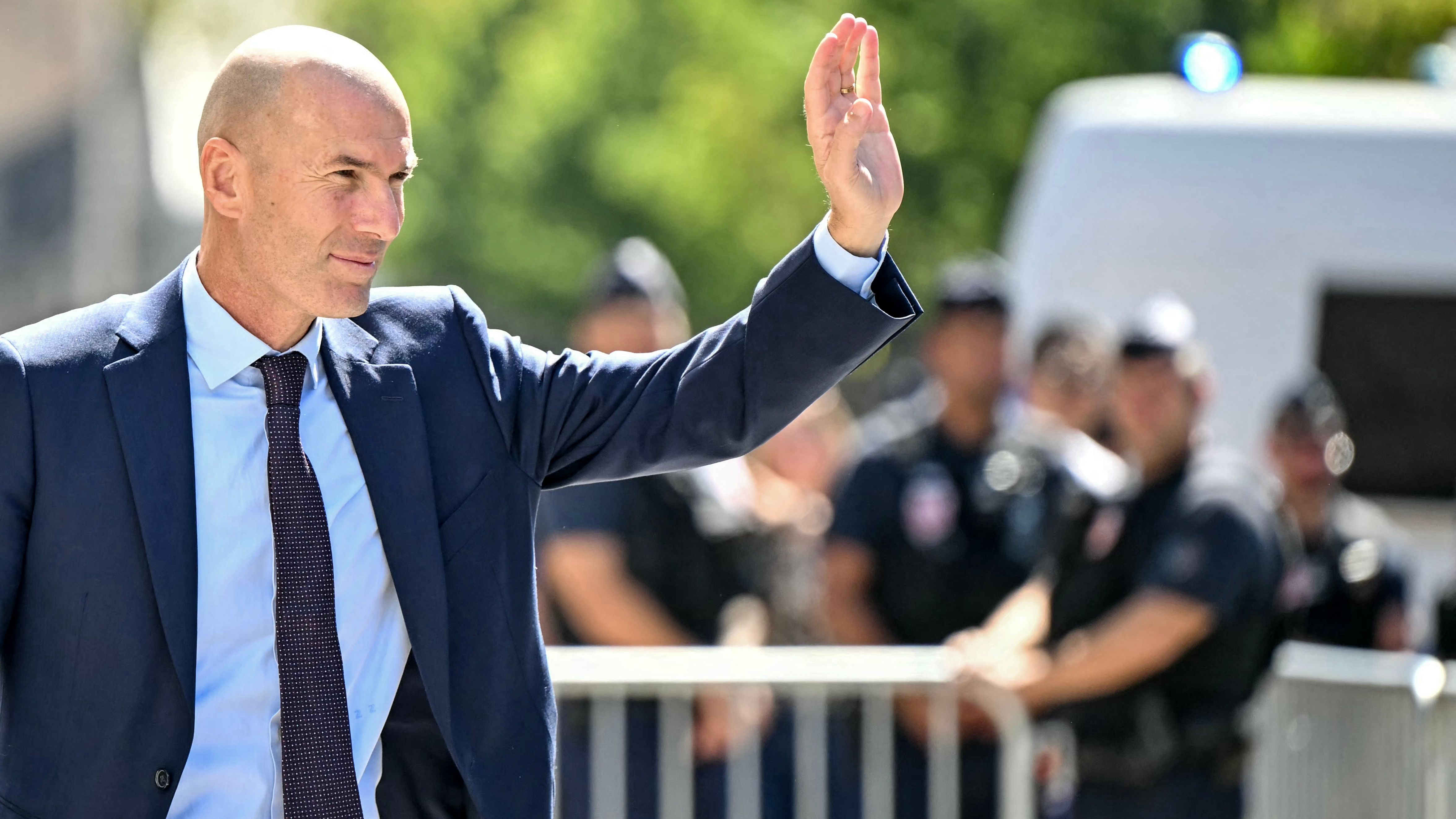
Zidane’s First France Camp Signals Clear Break With Deschamps Era
France head coach Zinedine Zidane intends to announce his first squad tomorrow, Friday, ahead of the national team’s camp during the international break, in what is already shaping up as a significant reset for Les Bleus.
A New Tenure Built Behind Closed Doors
Zidane has worked intensively since replacing Didier Deschamps after the World Cup, assembling his coaching staff and refining his methods. He has held a series of working meetings in Paris and in Madrid, where he lives, as he prepares for his first international window in charge.
Several members of his staff are already at Clairefontaine, the long‑standing base for France’s training camps, readying facilities and schedules for the arrival of the selected internationals and looking to minimise disruption to established daily routines.
Control, Continuity and the International Calendar
The national team will gather during the international break, part of the official men’s match calendar governed by FIFA and implemented in Europe through competitive and friendly fixtures overseen by national associations and UEFA. For Zidane, this first window is not only about personnel choices; it is an early opportunity to shape routines, information flow and internal standards before major qualification campaigns and tournament cycles intensify.
The same reporting indicates that Zidane is determined to stamp his own approach on this initial camp. Backed by his newly formed staff, he wants as much control as possible over the squad’s opening days together, with a particular focus on limiting distractions as players switch from club to national‑team duty.
Media Access Curtailed at Clairefontaine
A central element of this approach is a change to how the camp begins. Journalists will not be allowed to attend the traditional procession of players arriving at Clairefontaine, a long‑running ritual that has typically offered cameras and reporters a first glimpse of each international get‑together.
This custom has often generated debate in France, particularly around players’ clothing and off‑pitch image as they arrive at the national training centre. By removing that visual set‑piece from the opening day, Zidane is moving the emphasis away from appearance and spectacle and back towards preparation, at least for this first gathering.
Initial reaction has framed the move as a bold early decision that breaks with the approach followed under Deschamps. It underlines a shift in how the France setup intends to manage its environment, even before a ball is kicked.
Implications for Players and Selection Battles
For the players, this first squad announcement and camp under Zidane carries more than symbolic weight. A new head coach, particularly one with his standing as a former World Cup and European Championship winner with France and a highly decorated club coach, inevitably recalibrates competition for places.
With the international calendar structured around qualifying campaigns and final tournaments, early impressions can influence how the core of a squad evolves. Those included in this first list gain an immediate chance to align with Zidane’s expectations on and off the pitch, while others will be left to respond at club level before future windows.
By prioritising control of the environment at Clairefontaine and reducing external visibility in the opening days, Zidane is signalling that tactical work, physical management and squad cohesion will take precedence over the informal narratives that often accompany arrivals and off‑field images.
France’s Institutional Framework
Clairefontaine has long been at the centre of the French Football Federation’s efforts to standardise elite preparation and foster continuity between youth and senior teams. A head coach’s decisions about access, daily rhythms and communication at the training base therefore resonate beyond a single camp.
Within this institutional context, the upcoming squad announcement and training week will provide the first concrete indications of how Zidane intends to balance tradition with change: maintaining France’s status as a leading national team while reshaping how the group operates in a tightly regulated, congested international schedule.