
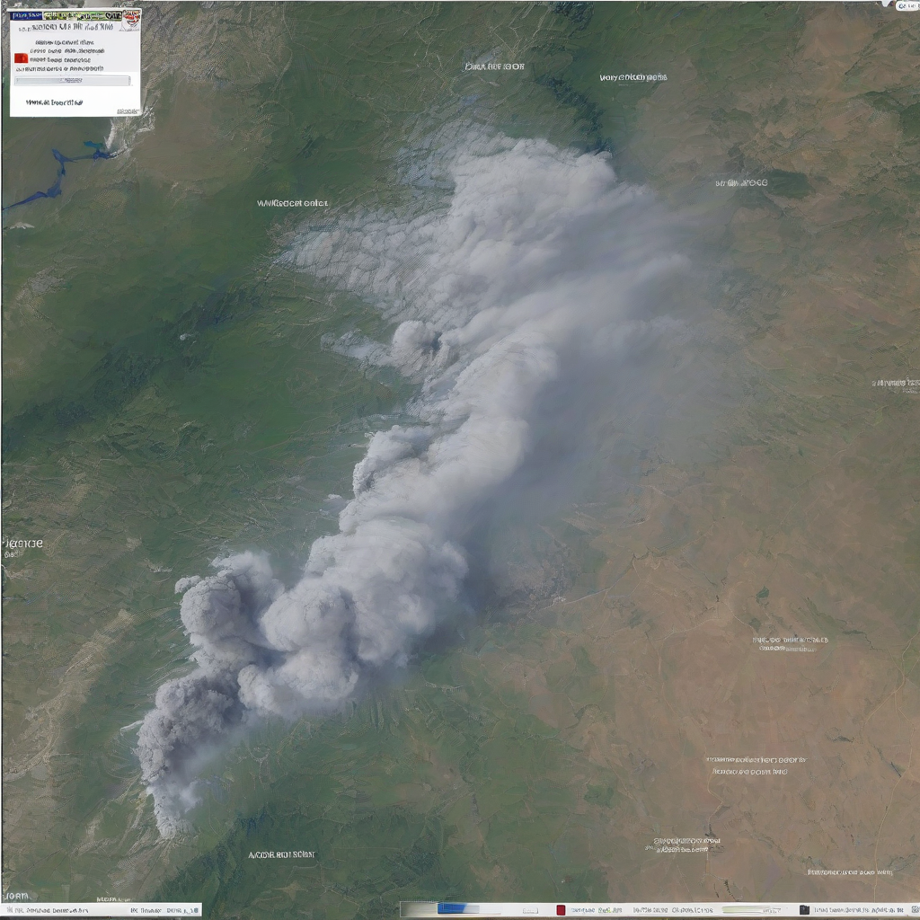
Volcanoes & Earthquakes, a global provider of real-time seismic and volcanic data, is seeking public donations to sustain its digital infrastructure and expand its alert capabilities. The organization stated that contributions are necessary to maintain its website and free mobile applications, which require significant hardware, software, and editorial resources.
The funding initiative aims to ensure the delivery of uninterrupted updates during geological events. The organization’s mission centers on providing immediate notifications whenever an earthquake occurs or a volcano erupts, complementing information flows from national geological surveys and civil protection agencies.
Seismic monitoring services typically rely on the continuous aggregation of data from global sensor networks to provide rapid alerts. Maintaining the servers and software required to process this high-velocity data in real time requires ongoing financial investment, particularly as climate-related risk assessments and urban planning increasingly depend on timely hazard information.
Infrastructure and Operational Requirements
The organization indicated that the requested support is directed toward expanding hardware and software capabilities. These resources empower the editorial team responsible for verifying and publishing seismic data, cross-checking automated feeds against official sources such as the United Nations Office for Disaster Risk Reduction to align with internationally recognized disaster-risk management standards.
According to the organization, the current operational model relies on donations to avoid service interruptions and preserve open access to core features. The team utilizes PayPal to collect contributions from users who find the data valuable, including emergency managers, local authorities and researchers who incorporate rapid alerts into contingency planning.
Recent Technical Implementations
Recent funding has already been applied to several system enhancements. These updates focus on increasing the depth of available data, strengthening reliability during high-traffic periods and improving the user experience.
Completed upgrades include:
- Integration of additional seismic data sources to broaden geographic coverage and redundancy
- Implementation of detailed earthquake statistics to help users interpret magnitude, depth and potential impact
- General design upgrades to the platform to clarify alert levels and make critical information more visible under stress
The organization says these changes are intended to reduce the time between an event’s detection and public notification, a key metric for emergency response agencies and infrastructure operators.
Planned Feature Roadmap
The organization has identified three primary technical objectives for future development. These features are intended to increase the utility of the service for a global audience, better align with emerging disaster-risk reduction practices and improve the speed of delivery.
Planned additions include:
- Tsunami alerts, coordinated with existing national and regional warning centers, to provide a single, consolidated view for users
- Improved multilingual support to make critical alerts accessible to non-English-speaking communities in high-risk zones
- Faster system responsiveness, particularly during major seismic swarms and large-magnitude events when user traffic surges
The addition of tsunami alerts represents a critical expansion of the service, as seismic activity under the ocean frequently necessitates rapid warnings to coastal populations to mitigate risk. These efforts mirror national and regional obligations set out under the U.S. Tsunami Warning System framework and similar schemes in other jurisdictions, which emphasize early detection, rapid communication and coordinated public messaging.
Platform Accessibility
Data is delivered through a website and dedicated mobile applications. These tools are designed to provide some of the fastest seismic and volcano alerts available online, with a focus on concise, push-based notifications that can be integrated into individual preparedness plans and institutional alerting protocols.
The service is currently available for download on both Android and iOS platforms. The organization stated that these tools are intended to keep users among the first to receive alerts during active geological events, positioning the platform as an adjunct to official warning channels rather than a replacement for government-issued evacuation orders or safety guidance.
Worth a look
